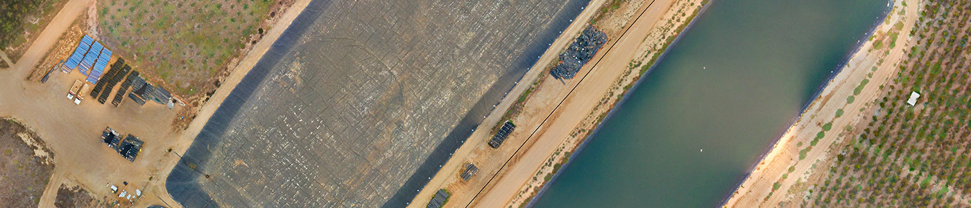
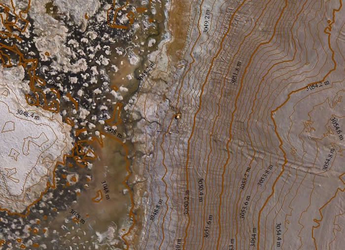
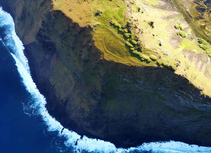
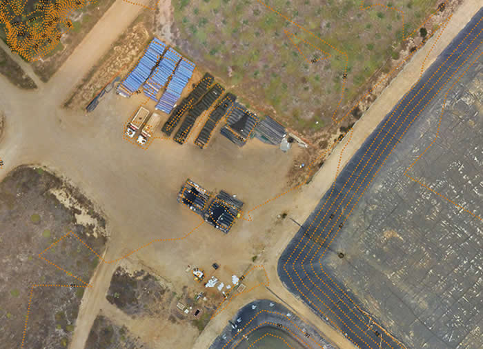
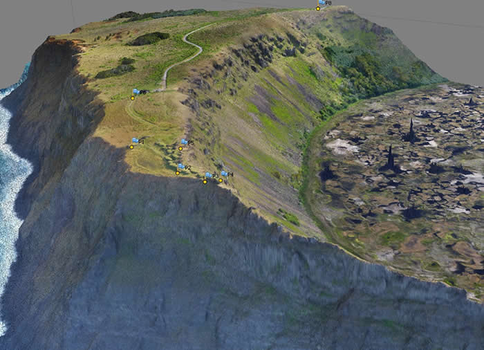
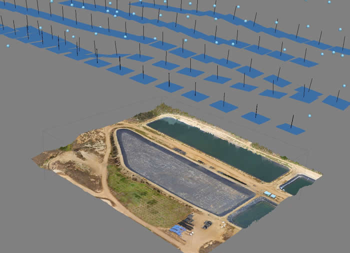
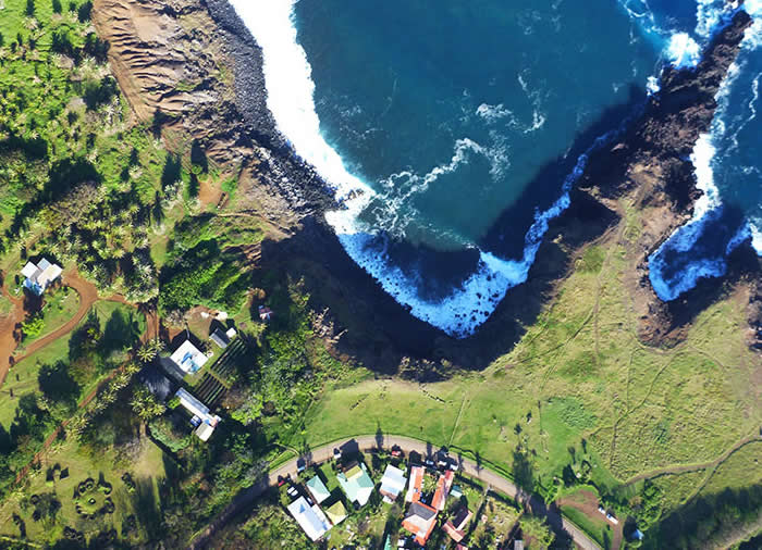
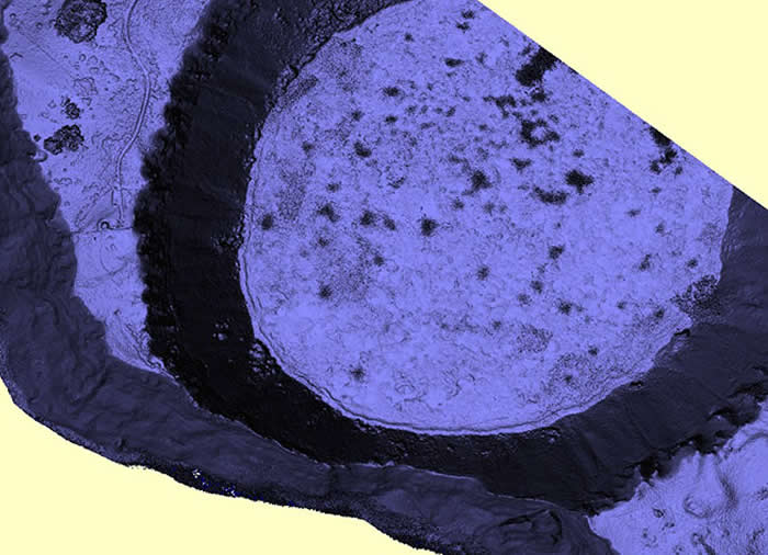
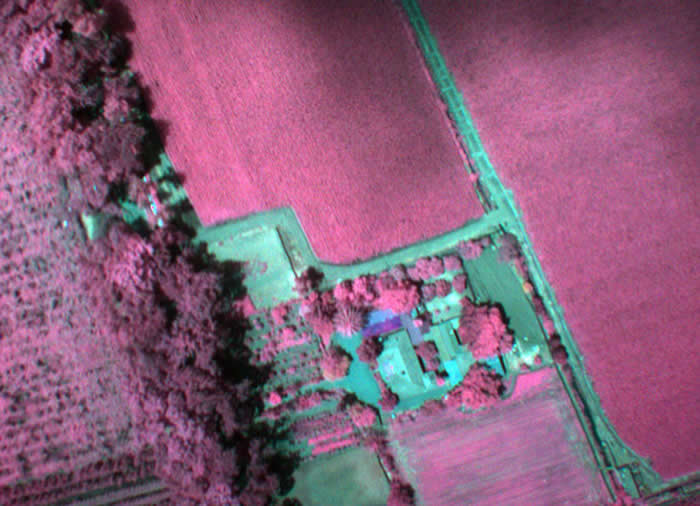
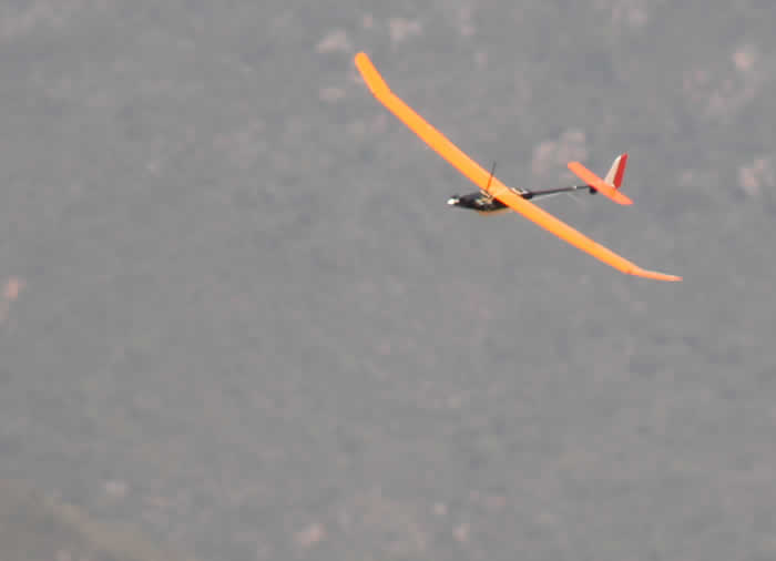
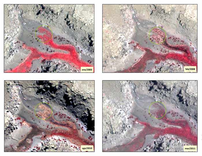
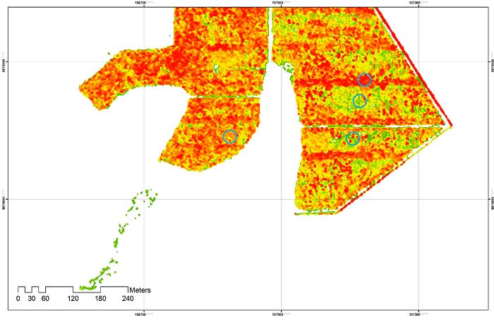
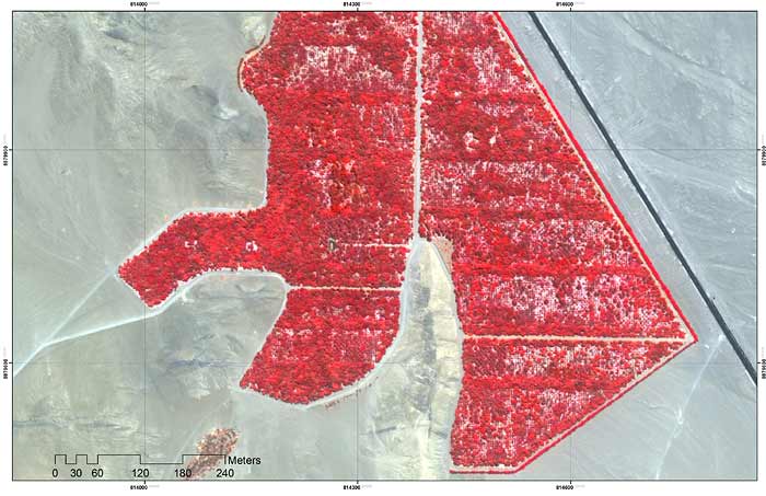
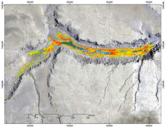
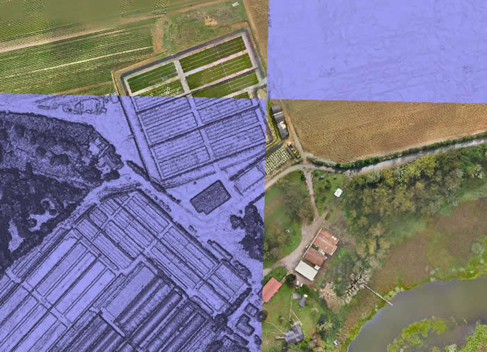
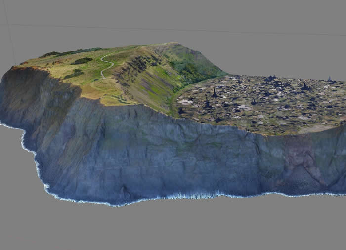
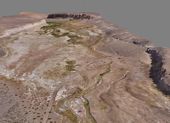
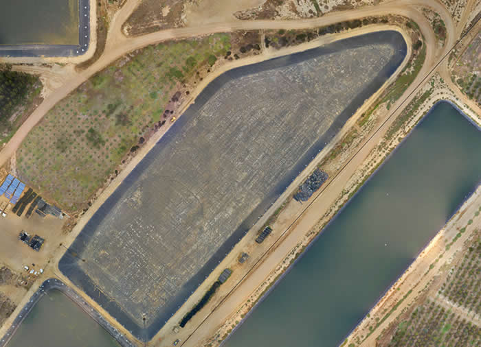
Edáfica has its own flight platforms which allows obtaining images of high spatial resolution as well as different band ranges of the electromagnetic spectrum, which are processed by digital photogrammetry to obtain orthophotos, numerical terrain models (DSM and DTM) with centimeter precision, indexes on near infrared (NIR), such as indexes NDVI, SAVI and others, and surface temperature indexes for the detection of anomalies associated with heat generation.
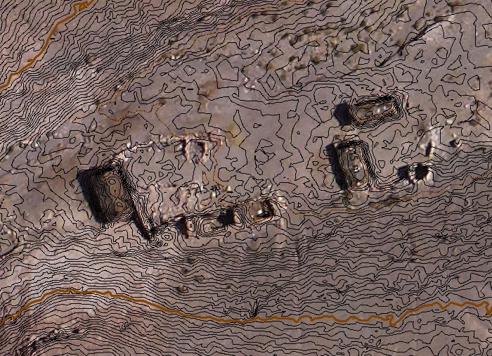
With this geospatial information it is possible to have a product that combines: orthophoto, a three-dimensional model of the terrain, point clouds and indices for the development of diverse environmental and territorial interpretations, such as slope calculation, obtaining contour lines, exposure maps, calculation of runoff lines, calculation of cuts and fillings, surface temperature, and near infrared information needed to monitor wetlands, reforestation plans, agriculture and environment among other applications.