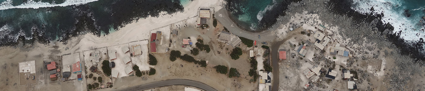
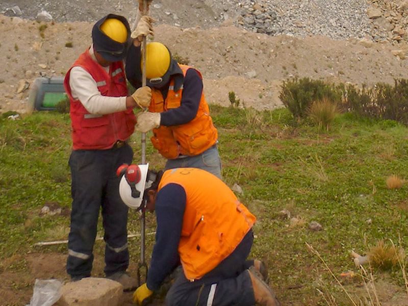
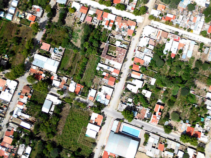
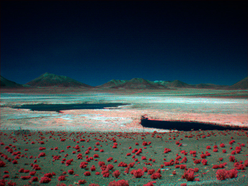
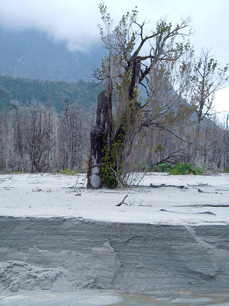
The spatial analysis of anthropic-natural processes and elements on the territory through the spatialization, georeferencing and systematization of information in Geographic Information Systems, always accompanied by field work, has now taken a relevant place when taking decision and also on environmental analysis.
The spatial analysis of anthropic-natural processes and elements on the territory through the spatialization, georeferencing and systematization of information in Geographic Information Systems, always accompanied by field work, has now taken a relevant place when taking decision and also on environmental analysis.