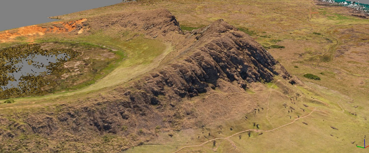
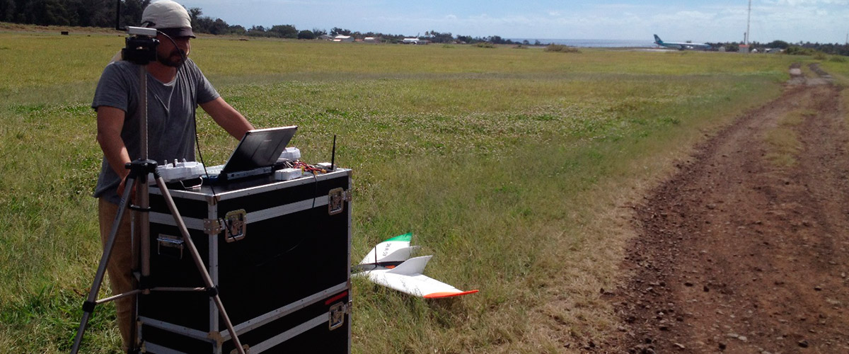
Photogrammetric flight of the whole of Easter Island, in the context of the project SYSTEMATIZATION OF PRE – EXISTING STUDIES AND MEANS AND TERRITORIAL SUPPLIES FOR DIAGNOSTIC BASE LINE OF PATRIMONIAL GOODS AND ARCHAEOLOGICAL CATASTRO, RAPA NUI – EASTER ISLAND, commissioned by the Technical Secretariat of Rapa Nui Heritage and the Council of National Monuments (CMN).
An orthophoto of 12 cm of pixel resolution in 164 km2 was made with geodetic support to conform, a detailed cartographic base for analysis of superposition and photointerpretation of diverse territorial information available in GIS environment. The orthophoto obtained in September 2015 is a determining tool for registration and documentation of heritage and natural resources in Rapa Nui.
The flight was carried out with unmanned aereal vehicle owned by Edáfica, and meant that the resulting orthophoto and 3D model will provide information that is non-existent to date for the island, and will allow supporting all kinds of territorial analysis, environment, natural risks and heritage in a first order scale of up to 1: 500 in planimetry.
In the link there is an extensive publication which refers in particular to the execution of the photogrammetric survey.


