Access to the reports published on the GORE website:
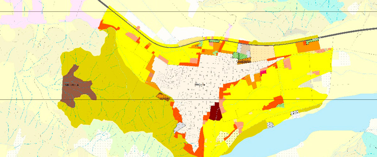
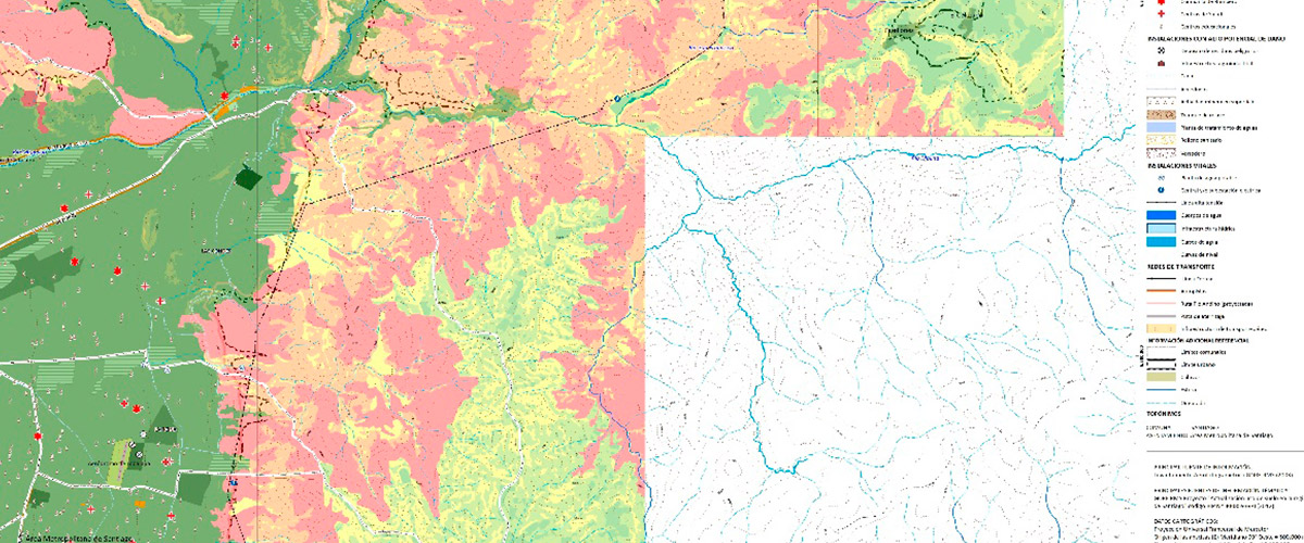
During 2012 and 2013, the Update of the Land Use Cartography and the Map of risks due to floods, massive removals and forest fires, developed for the Regional Government of the Metropolitan Region of Santiago (GORE RMS) was executed. In both projects, a specific methodology was introduced to update and create geospatial databases for their use in territorial planning processes.
The updating of the Land Use Cartography, proposes a typology applicable at different scales in the territory of the Region. This typology results not only from the theoretical and technical reviews, but also and mainly, from the meetings and workshops with the technical counterpart of the project, in which all the criteria that support the classifications were defined and agreed upon. As a relevant result, we propose a homologation of the typology with previous ones of the years 1998 and 2003, in order to generate analysis of change.
It can be pointed out that the Land Use Cartography Update project in the RMS is an objective tool that will allow well-founded analyzes of the territory and support regional territorial planning in the short term.
As for the study of risks, it constitutes an input for an indicative instrument, consequently strategic and counselor of the different anthropic activities developed on the geographic space of the Metropolitan Region of Santiago. The analysis and methodological development of natural risks derived from natural processes is addressed through index maps or indicators of susceptibility to suffer or originate a natural process, which leads to a threat to the population or infrastructure existing in the study area.


