Featured projects according to their service area:

Territorial planning
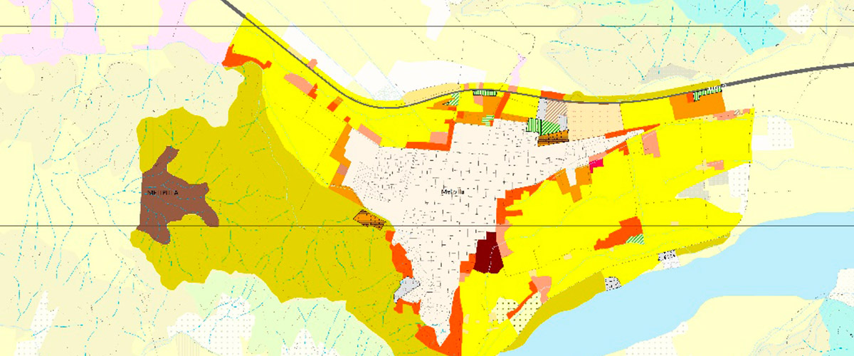
Access to the reports published on the GORE website: Actualización Carta Uso de Suelo en la Region Metropolitana 2012 Riesgo potencial por amenazas derivadas de procesos naturales, en los principales asentamientos humanos de la Region Metropolitana During 2012 and 2013, the Update of the Land Use Cartography and the Map of risks due to floods, […]

Aerial Photography
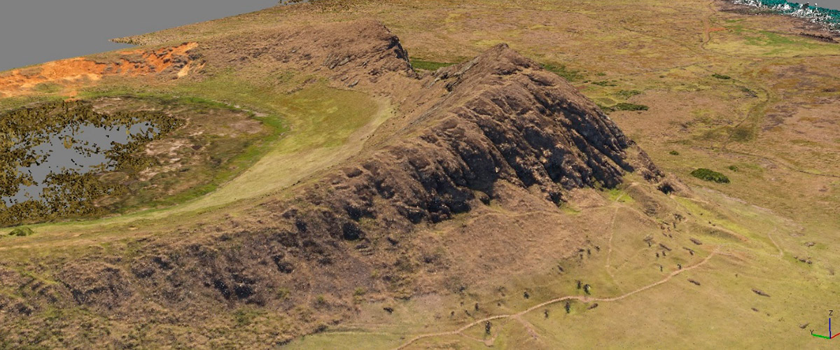
Photogrammetric flight of the whole of Easter Island, in the context of the project SYSTEMATIZATION OF PRE – EXISTING STUDIES AND MEANS AND TERRITORIAL SUPPLIES FOR DIAGNOSTIC BASE LINE OF PATRIMONIAL GOODS AND ARCHAEOLOGICAL CATASTRO, RAPA NUI – EASTER ISLAND, commissioned by the Technical Secretariat of Rapa Nui Heritage and the Council of National Monuments […]

Forestry and Agriculture
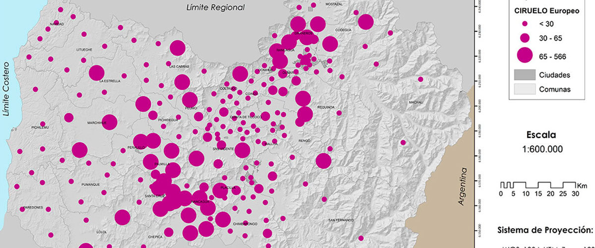
APICULTURAL FLOWERING MODEL TO IMPROVE THE PRODUCTION AND COMPETITIVENESS OF THE PRODUCERS OF THE VI REGION, THROUGH THE CREATION OF MAPLE OF APTITUDE AND APICULTURAL SAFETY, BASED ON THE POTENTIAL OF FLOWERING OF THE VEGETATION (NATIVE AND COMMERCIAL) By order of CEAPI – U. Mayor, an ecophysiological model was made to zonify the apicultural potential […]
